In a world where daily life moves at a relentless pace, the mountains and raw wilderness offer the ultimate sanctuary. However, venturing into remote backcountry demands a real commitment to safety. In high-altitude mountaineering, guesswork is not an option: carrying the right gear makes all the difference between an incredible adventure and a critical emergency.
Within essential safety equipment, two key tools are often confused, yet play complementary roles: the satellite navigator (GPS) and the satellite communicator/tracker.
1. Satellite Navigators (GPS): Precision Wayfinding
The satellite navigator is designed to answer two crucial questions at any given moment: "Where am I?" and "Where am I heading?". Today, referring simply to "GPS" means looking at just one piece of the puzzle. Modern devices integrate Multi-Band / Multi-GNSS technology, connecting simultaneously to multiple satellite constellations: GPS (USA), GLONASS (Russia), Galileo (EU), and BeiDou (China). This simultaneous signal reception allows for pinpoint location accuracy, even in challenging environments like glacier crevasses, deep canyons, or under dense tree canopy.
• The current benchmark: Garmin GPSMAP 67 / 67i, featuring detailed topographic mapping, a barometric altimeter, and a revolutionary battery life of up to 165 hours in tracking mode.
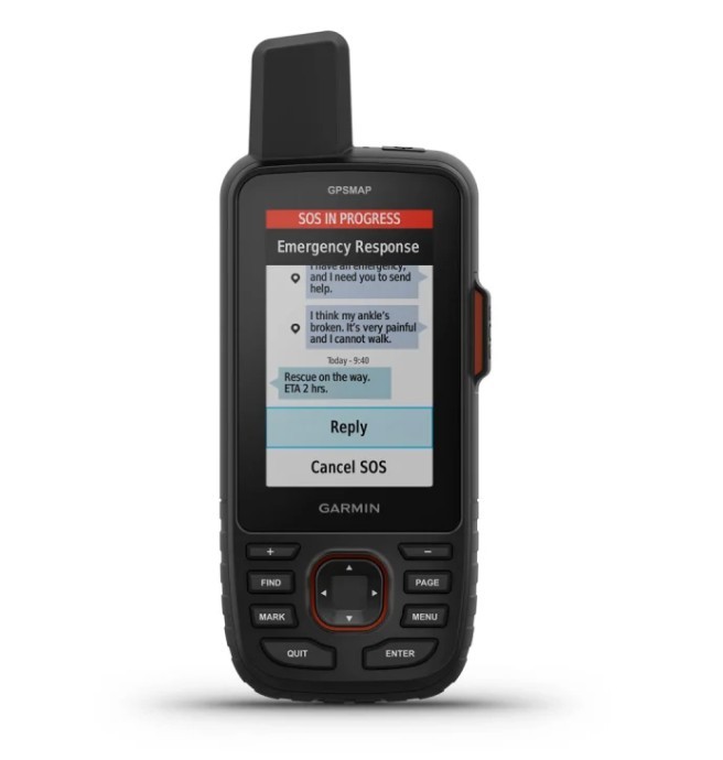
Garmin GPSMAP 67i: High-precision multi-band navigation with built-in inReach technology.
2. Satellite Trackers & Communicators: Your Lifeline to the World
While a navigator helps you stay oriented, a satellite tracker lets others know where you are and allows you to call for help if needed. Operating on Low Earth Orbit (LEO) networks like Iridium or Globalstar, they provide 100% global coverage regardless of cellular reception. Core features include real-time location tracking, two-way messaging, and an interactive SOS button connected to global emergency response monitoring centers (such as IERCC / Garmin Response).
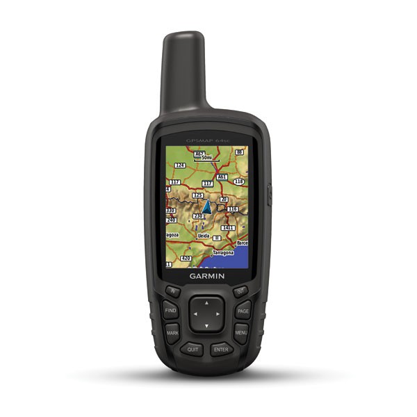
Next-generation flagship devices:
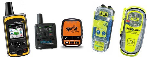
• Garmin inReach Messenger Plus: The latest evolution, enabling satellite voice messaging and photo sharing via the Iridium network.
• Garmin inReach Mini 2: Ultra-lightweight (100 g / 3.5 oz), ideal for fast-and-light mountaineers and trail runners.
• ZOLEO Satellite Communicator: Features smart message routing that seamlessly switches between Wi-Fi, cellular, and satellite networks.
• Spot X: Equipped with a built-in physical QWERTY keyboard for easy typing without draining smartphone battery.
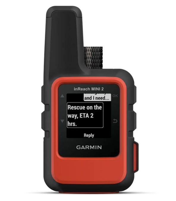
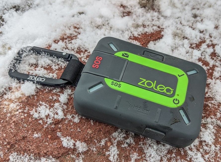
Left to right: Garmin inReach Mini 2 (ultra-light) and ZOLEO Satellite Communicator (hybrid message routing).
3. Practical Field Applications in Expeditions
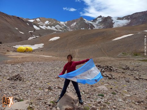
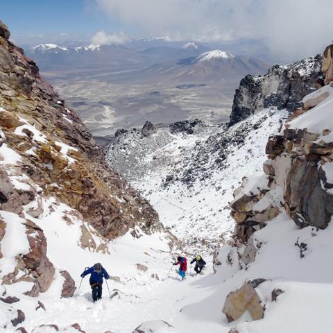
• High-Altitude Peak Climbing (Aconcagua, Volcán Cachi, San Francisco): Using units like the Garmin GPSMAP 67i or inReach Messenger for navigation in whiteout conditions, daily weather updates with base camp, and evacuation coordination.
• Andean Crossings & Multi-Day Treks (Patagonian Crossing, Huemul Circuit, Ventana): Relying on Garmin inReach Mini 2 or ZOLEO for daily family check-ins, route tracking, and remote support.
• Sea Kayaking & Expedition Paddling (Patagonian Rivers, Fuegian Channels): Employing inReach Messenger Plus or Spot X for quick updates on tide/wind route changes and sending campsite photo updates.
Key Operational Factors for Peak Performance:
To get the most out of these units, remember that a clear line of sight to the sky is essential for antenna communication. Additionally, pre-trip planning and setup are critical: always set up emergency contacts, active service plans, and preset messages prior to heading out into the field.
At Argentina Extrema, our wilderness orientation, navigation, and cartography training emphasizes combining state-of-the-art satellite tools with traditional map-and-compass skills.
Stay tuned for our upcoming article, where we will cover how to transform your Smartphone into a professional satellite navigator using offline apps like Wikiloc, Gaia GPS, and Avenza—including battery management strategies in extreme cold and understanding cellular hardware limits.