They aren't the tallest (this selection goes up to 6000 masl). Nor are they the most technical or the most vertical. They became sought-after for different reasons, and today they hold a privileged place in the dream list of climbers and adventurers in general. They are the ones that can't be missing from the display case of anyone collecting classic summits in one of the countries with the most mountains in the world. Here they are.
Under 6000 masl
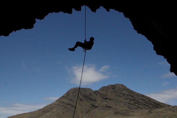
As anyone who has ever attempted and experienced it knows, as those who experience it more often know, as anyone who has simply come to feel that magical sensation of finding themselves ever closer to the sky knows. Walking, climbing, living and going up mountains represents a way of life and one of the most enriching experiences that come with the tourist service of being on this earth.
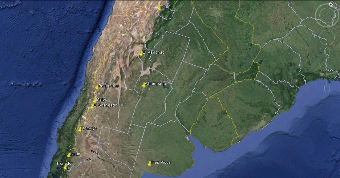
In this list of 10 (the "perfect" number we've been taught to use for dividing up big groups), I offer you a list of hills and mountains over 1000 and under 6000 meters, located in Argentine territory (some bordering Chile), which hold great appeal either because of their fame or because of the special features we've included in this rundown. You won't find the classic 6000-meter peaks found in our country's renowned mountaineering schools, such as those of the Cordón del Plata in Vallecitos or the Nevado de Cachi. Nor have I added the vertical spires of Patagonia such as Torre or Fitz Roy, which are world famous but where only a select few extraterrestrials have managed to lift their bodies to the summit.
Ascent difficulty level: See box below
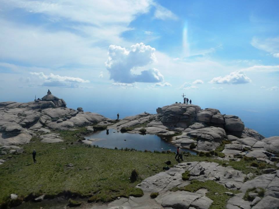
Highlight and mention: The highest point in Buenos Aires Province. A classic among beginner treks and hikes in Sierra de la Ventana.
Routes: The most popular: South Access. Start and approach: Tornquist, Estancia Funke.
Difficulty
- Alpine System: F
- LS System (See box below): M2-F1-T1-P1-A1
Times and duration
- General: The summit can be reached in a single day, with 6 to 9 hours round trip from La Glorieta (the furthest point vehicles can be left)
- Normal total expedition length: 1 full day if you drive to and from Glorieta. 2 days / 1 night on the mountain if you camp overnight at Cueva de los Guanacos or at Glorieta itself.
Recommended ascent season: April to October
Summit GPS: 38° 9'29.69"S / 61°57'6.70"W
Highlight and mention: The highest point in the province.
Routes:
1 - East (the most commonly used):
a) Access from Villa Alpina. 18 km to the base refuges.
b) Access from Tres Árboles. By vehicle from Villa Yacanto to the stated outpost. 12 km on foot to the base refuges.
c) Access from La Cumbrecita. A long route of more than 25 km to the base refuges.
There are other less well-known routes, from Pampa de Achala, and also one that goes almost all the way to the summit by vehicle via the Cuesta de Los Linderos, which we won't go into detail on since it goes against the spirit of trekking and adventure.
2 - West (Traslasierra). A steep, abrupt ascent, very interesting for trained hikers. Little water along the way (only lower down), the most commonly used are:
a) From Los Hornillos. b) From Villa Las Rosas. c) From San Javier
Difficulty
- Alpine System: F (Easy)
- LS System (See box below): M2-F1-T1-P1-A1
Times and duration
- General: The summit can be reached in a single day, 6 to 9 hours round trip from the refuge area. Reaching the refuge area itself requires between 5 and 7 hours of hiking.
- Normal total expedition length: 3 days / 2 nights on the mountain
Recommended ascent season: April to October
Summit GPS: 31°59'14.62"S / 64°56'12.33"W
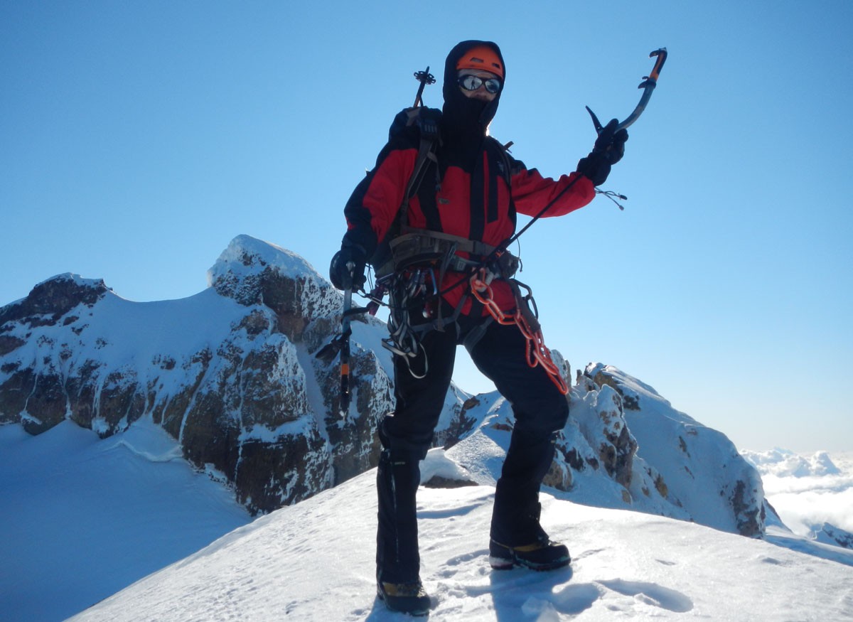
Highlight and mention: The highest point in Río Negro Province. 6 glaciers (Río Manso, Castaño Overa, Alerce, Frías, Blanco and Casa Pangue).
Routes from Pampa Linda, Argentina:
International Peak:
A) Via Refugio Meilling. Then to the Depresión via Filo de la Vieja, ascent to the Promontorio, and from there to the summit via the Claussen Route (a great traverse, D) or the Direct Route (MD)
B) Via Refugio Tronador (Viejo). Then via Glaciar Blanco, Col Blanco, Col Reichert and to the summit (AD).
Chilean Peak: Via Refugio Tronador (Viejo). Then via Glaciar Blanco, Col Blanco and to the summit (AD).
Argentine Peak: Via Refugio Meilling. Then to the Depresión via Filo de la Vieja and a traverse to the northeast toward the summit. (AD)
Difficulty, Argentine Peak
- Alpine System: PD Sup
- LS System (See box below): M2-F3-T3-P2-A2
Times and duration
- General: The summits can be reached after a long day's activity from the refuges. Reaching the Otto Meiling refuge takes between 5 and 7 hours from Pampa Linda. Reaching the old Tronador refuge takes about 12 hours from Pampa Linda.
- Normal total expedition length: 3 days / 2 nights on the mountain
Recommended ascent season: October to December
Summit GPS:
- International / Anon Peak: 41° 9'32.10"S / 71°53'27.93"W
- Argentine Peak: 41° 9'34.90"S/ 71°52'41.55"W
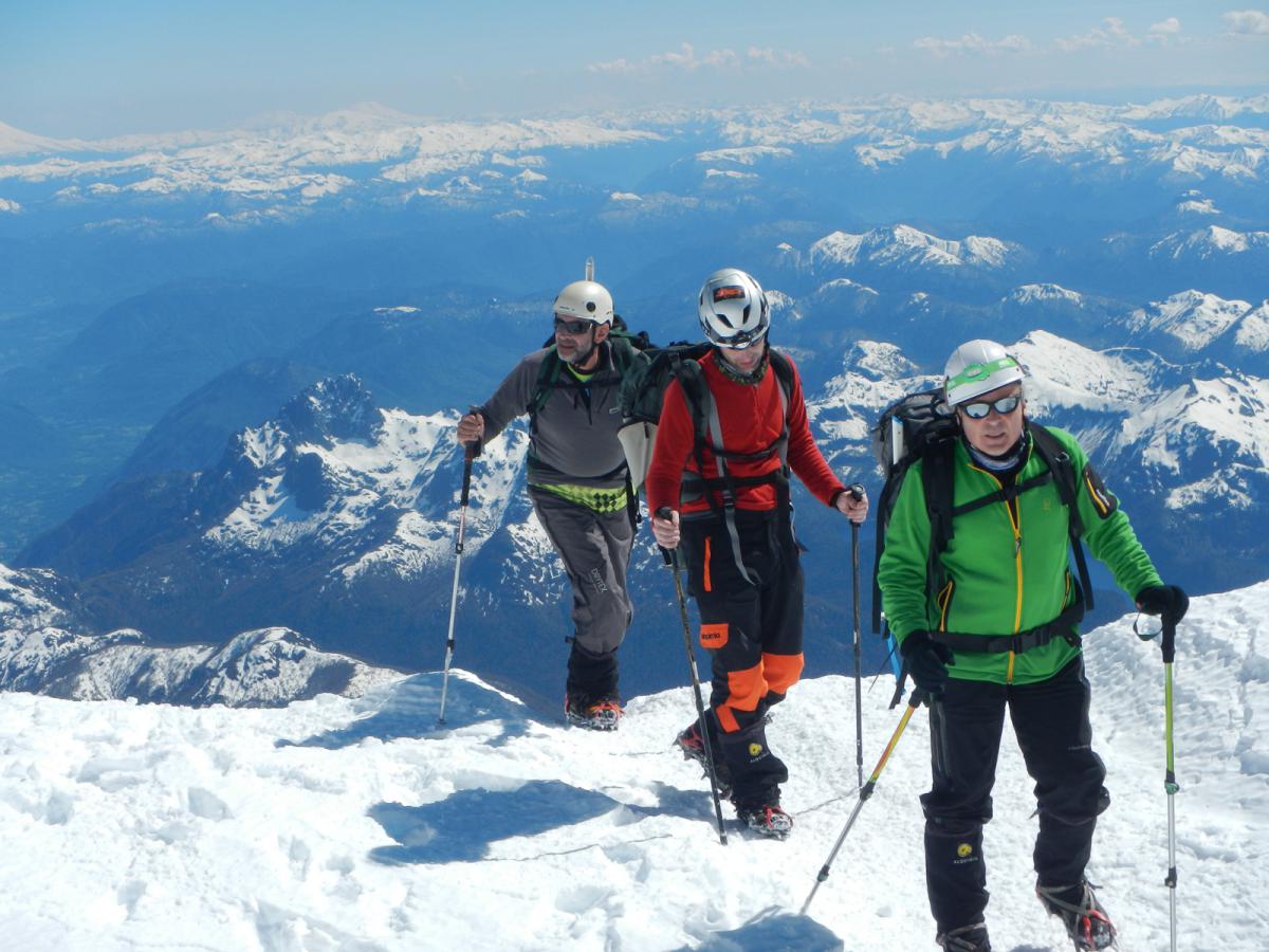
Highlight and mention: An iconic stratovolcano of Northern Andean Patagonia. One of the three most-climbed mountains in the Andes range.
Routes:
Normal route: From the Río Turbio ranger station of Lanín National Park (Tromen). North Route. Along the “fishbone” ridge up to the refuge area (Bim 2315 masl, Rim 2450 masl, CAJA 2700 masl). From there, up slopes of 25 to 35°, passing through the Plateau, the Canaleta and the Crux to the summit.
Difficulty
- Alpine System: PD
- LS System (See box below): M2-F4-T2-P2-A2
Times and duration
- General: The summit can be reached in two days. Lanín National Park has regulations preventing more than one overnight stay on the mountain. The mountain's carrying capacity is 80 people per day.
- Normal total expedition length: 2 days / 1 night on the mountain
Recommended ascent season: October to March
Summit GPS: 39°38'14.28"S / 71°30'8.82"W
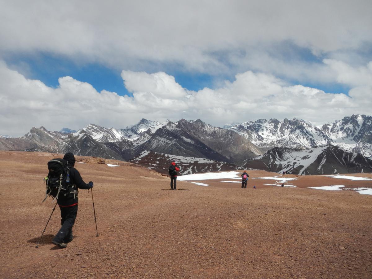
Highlight and mention: A classic ascent of the Argentine mountaineering school. Great views of Aconcagua.
Routes:
Normal route: 4 kilometers from the Los Penitentes Ski Center (2700 masl), along the route to Puente del Inca, the Quebrada de Vargas heads off to the south-southwest. You enter via this gorge up to the Grajales refuge (3300 masl), about 4 / 5 hours of walking. The next day you can choose to rest, take an acclimatization walk, or attempt the summit. The summit is reached via the large west face. Without snow there is a well-marked trail. With fresh snow you need to find your own way. The ascent, with 1000 m of elevation gain, is somewhat exhausting. It takes between 4 and 5 hours to reach the summit.
Difficulty
- Alpine System: F
- LS System (See box below): M2-F3-T1-P1-A2
Times and duration
- General: The summit can be reached in three days, though four days is recommended.
- Normal total expedition length: 3/4 days
Recommended ascent season: November to April
Summit GPS: 32°52'47.18"S / 69°52'25.06"W
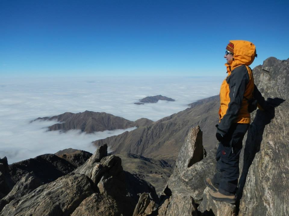
Highlight and mention: The highest peak of the Cordón de Ambato. A mountain environment with its own microclimate, far from the Andes range proper and quite different from the rest of Catamarca's mountains.
Routes:
- Normal 1: From Las Juntas. The route starts at the village heading west and begins climbing gradually. Camps are set at high elevations, over 3000 masl, with the last one at 4000 masl.
- Normal 2: From El Rodeo. You follow the Río Ambato up to a place called Los Rastrojitos. From there the ascent is steeper, and the last camp is set at 3300 masl in a cave known as del Hermitaño.
Alternatives: From the West, from Saujil
Difficulty
- Alpine System: F
- LS System (See box below): M3-F3-T1-P1-A2
Times and duration
- General: The summit can be reached in four intense days, though a minimum of five is recommended, in order to acclimatize better.
- Normal total expedition length: 4/5 days
Recommended ascent season: March to November
Summit GPS: 28°15'24.71"S / 66° 2'14.74"W
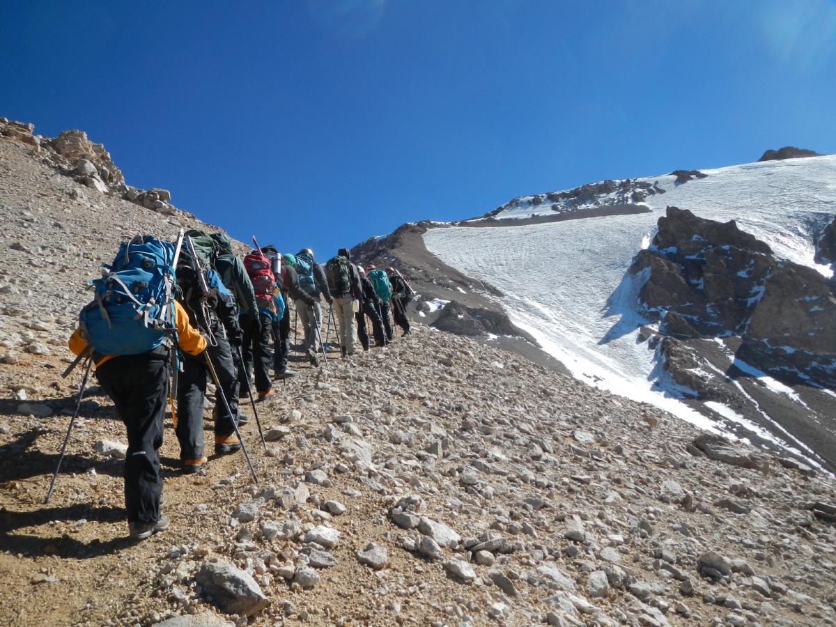
Highlight and mention: The highest summit in Patagonia. Its remoteness, the approach trek, and the hot springs found at its base make it a destination with remarkable appeal.
Routes: Normal route: Vehicle access from the town of Varvarco. About 3 km before reaching Aguas Calientes (the natural hot springs site), turn right, and after several forks you reach the vehicle "parking area," at 2200 masl. From there the trek begins through the Covunco Valley up to Base Camp, on the mountain's south face, at 3000 masl. Higher camps are usually set up at 3400 masl at the so-called Los Hoyos camp, or at the 3750 masl camp, on the Filo ridge. From there to La Montura and the southeast Portezuelo, at 4100 masl. The final ascent runs along the spur dividing the south face from the Callaqui Glacier (east) up to the Pre-Summit, and from there about 20 minutes to the main summit.
Normal route 2: From El Humazo, a similar access to the one leading to the parking area, but ascending the mountain's western sector.
Difficulty
- Alpine System: PD
- LS System (See box below): M3-F3-T2-P2-A3
Times and duration
- General: The summit can be reached in four intense days, though a minimum of five is recommended, in order to acclimatize better.
- Normal total expedition length: 4/5 days
Recommended ascent season: December to March
Summit GPS: 36°38'19.70"S / 70°25'57.67"W
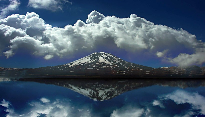
Highlight and mention: A striking stratovolcano between Argentina and Chile. Laguna Diamante, at its eastern base, has a singular beauty.
Routes: Normal route: Vehicle access via a poor-condition road up to the Gendarmería post, on the southern shore of Laguna Diamante. Base camp is set beside the lagoon, at 3300 masl. From there the route runs along the East face. A high camp is normally set at 3800 masl, though there are several spots where you could even set up an additional high camp. The high camp at 4150 masl is also used. From camp you climb to the crater, and then skirt around it (or cross the glacier) to the final plateau leading to the summit.
Difficulty
- Alpine System: PD
- LS System (See box below): M2-F3-T2-P2-A3
Times and duration
- General: A week-long expedition.
Recommended ascent season: November to February.
Summit GPS: 34° 9'50.96"S / 69°49'54.50"W
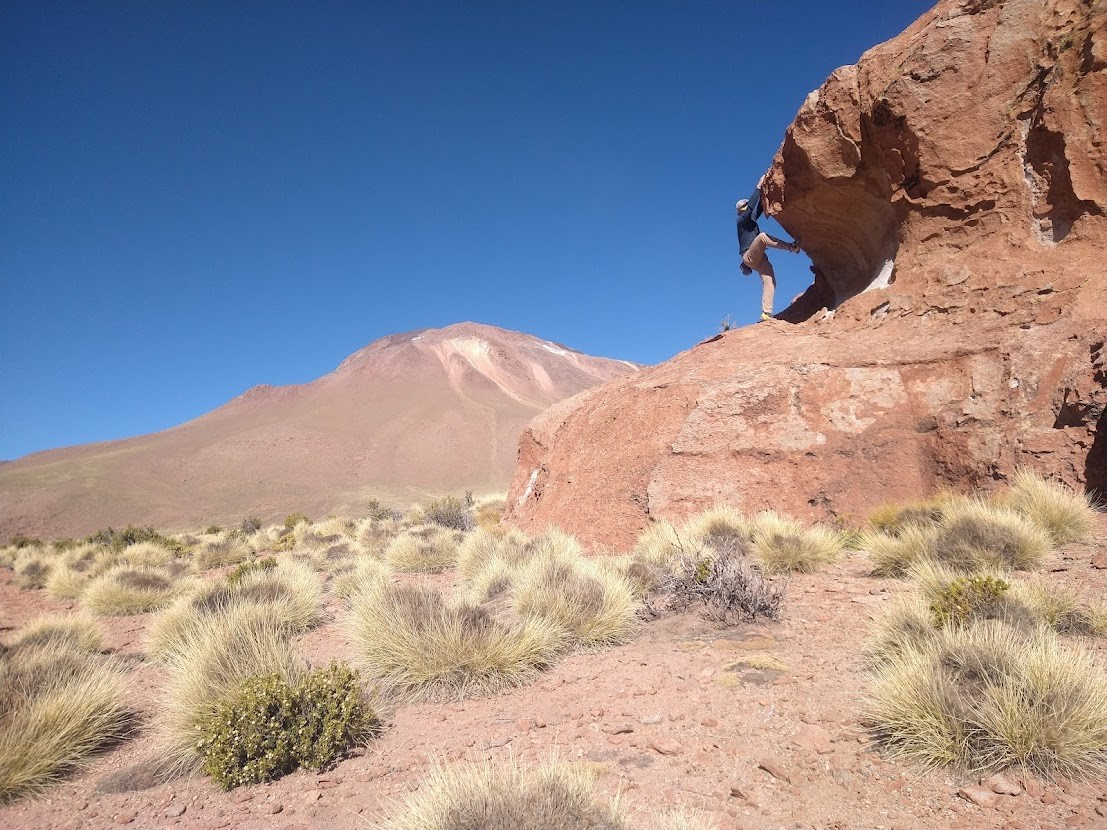
Highlight and mention: A volcanic cone that rises above the Puna. Accessible enough to be climbed in a single day. Ideal as a first ascent above 5000 m.
Routes: Normal route: Vehicle access via Route 40 from San Antonio de los Cobres to its base, on the east face, where there is a 4x4 vehicle track that reaches even as high as 5200 m, although it's recommended to go no higher than 4800 masl by vehicle. Another option is to make camp near the road, at around 4550 masl.
Difficulty
- Alpine System: F
- LS System (See box below): M1-F3-T1-P2-A3
Times and duration
- General: 4 days, including acclimatization.
Recommended ascent season: April to November.
Summit GPS: 44° 03´23.92¨ / 66°28'44.37"W
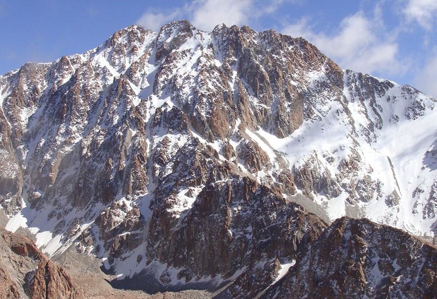
Highlight and mention: The highest peak in Jujuy Province. It has a very appealing summit cirque, visible from the Salinas Grandes. One of the most important mountains in northern Argentina.
Routes: East: From León, Quebrada de Humahuaca. On to Ovejería, and from there ascend to the refuge at 4750 masl. Then to the Reichert amphitheater, Abra de Chañi, and along the northwest ridge to the main summit.
South approach: From Salta, approaching from Potrero de Chañi to Ovejería and following the same route as the East Route.
West: From El Moreno, vehicle ascent up to Casa Mocha at 4200 masl. The highest camp is at Jefatura de los Diablos, at 4900 masl. From there to Abra de Chañi and along the northwest ridge to the summit.
Difficulty
- Alpine System: F
- LS System (See box below): M3-F3-T2-P3-A4
Times and duration
- General: An ideal expedition length is 10 days.
Recommended ascent season: Between April and October
Summit GPS: 24° 3'46.20"S / 65°44'44.21"W
Being able to express and describe with great precision the level of difficulty of an ascent, or even of a trek, has always been a matter of debate and discussion. In this section I propose a system that brings together and combines all the factors I consider fundamental when talking about how demanding a mountain outing is: pack weight, physical, technical, psycho (Psychological) and Altitude. We've defined the grading from 1 to 5 for each of these five categories.
Pack weight (M): This category relates to the weight we have to carry in our backpacks. Approach treks where we have pack animals available allow us to carry less weight on our own backs.
Physical (F): We consider physical demand to be the wear and tear we may suffer, whether aerobic (climbs = possible shortness of breath), muscular (endurance = many hours of walking), or on the joints (descents = knees / ankles).
Technical (T): Technical difficulty is based mainly on the terrain. How hard it can be to climb a slope, whether it's very steep, or whether at some point you need to use your hands (simple scrambling), whether on rock or on snow/ice, or gear such as crampons and ice axes on other ascents.
Psycho (P): We hold that this category, the psychological factor, is a particularly relevant factor, especially on ascents. Everyone needs a certain extra measure of conviction, confidence, self-control and willpower to reach a goal. And depending on the attitude with which we face distances, elevation gain, terrain and so many other objective factors, we can achieve very different results in terms of performance.
Altitude (A): This is the factor of how much height above sea level affects us, depending on the activity we're doing. Managing and overcoming the symptoms caused by altitude is the key to this category.
As an example, we could take:
the classic trek and ascent of Cerro Tres Picos in the Sierra de la Ventana of Buenos Aires Province, an out-and-back trek with one night camping in the hills, which we could rate as: M2-F1-T1-P1-A1